A Trip to the Olympics
(no monetary kickbacks required...)
April 9, 2000
(this page is best viewed at 1024x768 at least!)
(for really big pictures, click on 'em!)
The last time I went to the Olympic Penninsula was January 1999. It was cloudy, rainy, and I never even saw Mountain #1. So this time, I headed out on what promised to be a good day, hopefully to see the very nice looking rocks on the other side of the Sound. My wish was granted.
However, it was cloudy in the morning. We took the ferry over from Edmonds, and it was a nice short ride. We missed the first one, so we hung around the park right on the beach there for a bit.
| It stayed cloudy for a while, but just about the time we got close to the mountains, it cleared up and we got our first peak at a snowy peak. |  |
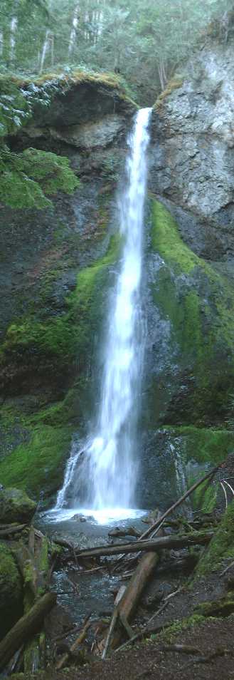
First stop? Lake Cresent and Marymere Falls. You may remember these from my other road trip. But it was cooler this time because the weather was nicer.
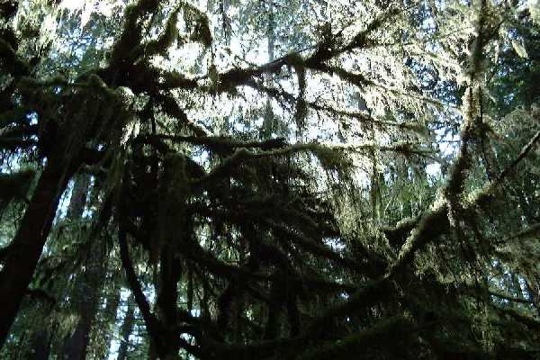 One thing I really like about this place is the abundance of moss. this was my first sort of hike. It was kinda like a home coming! |
 |
|
| And
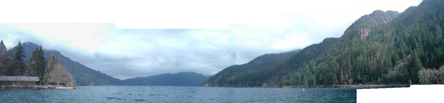
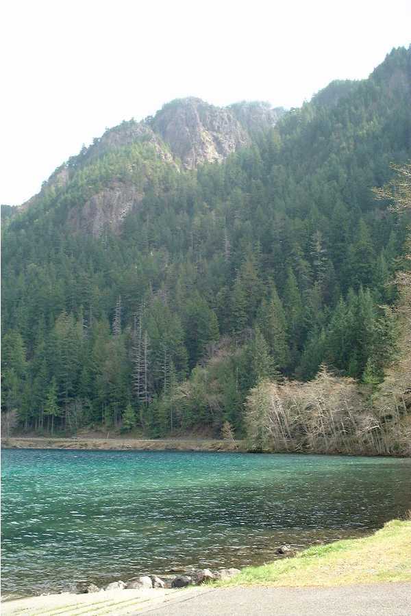
of course, there is Lake Cresent. Clear, blue, wonderful,
and damn cold water. It is right in a valley, so on a
clear day you can see the beautiful lake surrounded by
mountains, including the one to the right, Mt. Storm King.
Which, in case you were wondering, is on my hike this
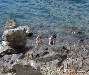
damn mountain list'! We pulled over to look at the lake, and managed to snap this picture of some duckies hangin' out.
|
 |
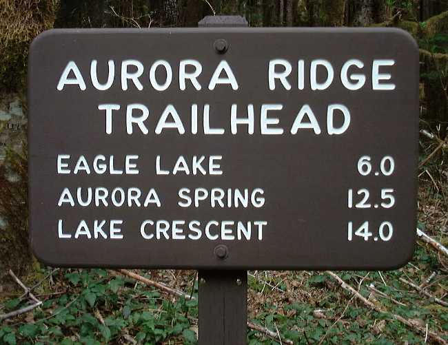
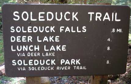
Next stop? Uh... Don't remember. But this is in the same area as Lake Cresent. It is a trail sign. Yes, I am a loser who takes pictures of trailhead signs so that I can remember what hikes I want to do.
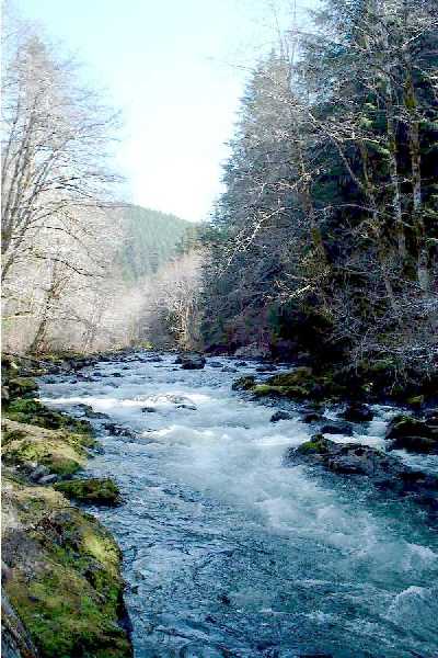 |
Uh, Elwah river? Yeah. Don't remember much about it, except that it was cool and I really need to update these damn pages sooner while I still remember shit. | ||
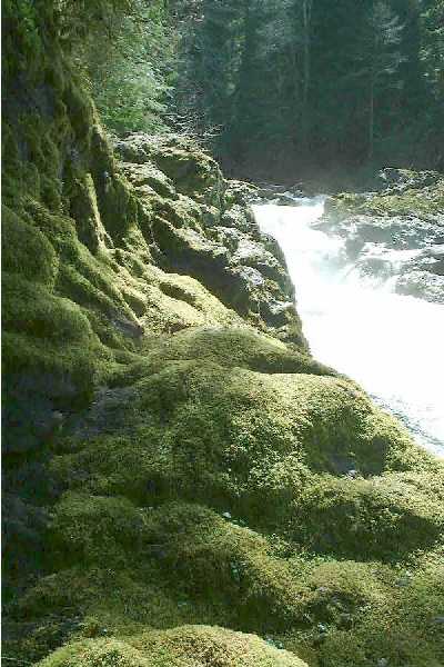 |
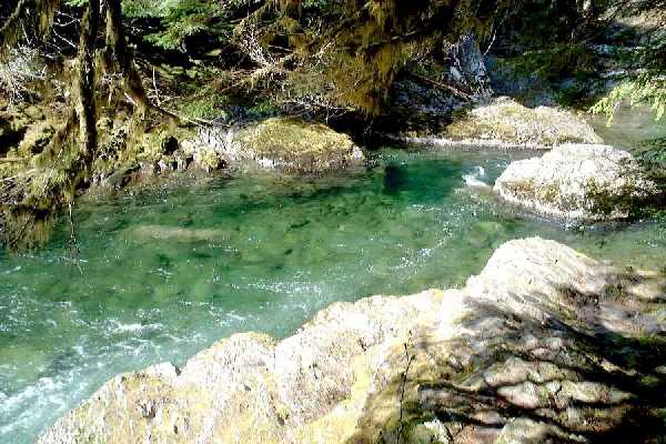
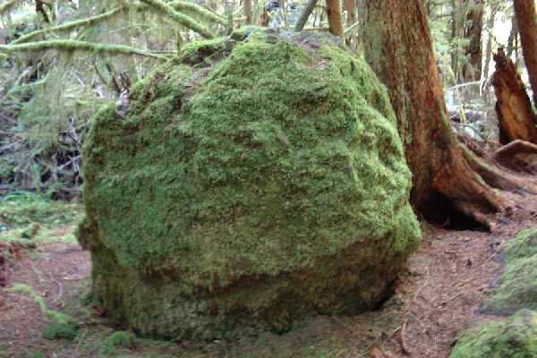
This
happy little place is called Salmon Crossing. No, it is
not just a clever name. They do actually come here, if
there are any left. This was really cool. The water was
this lovely green, and the rocks all had this thick shag
carpet of moss, as shown to the left.
|
||
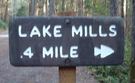
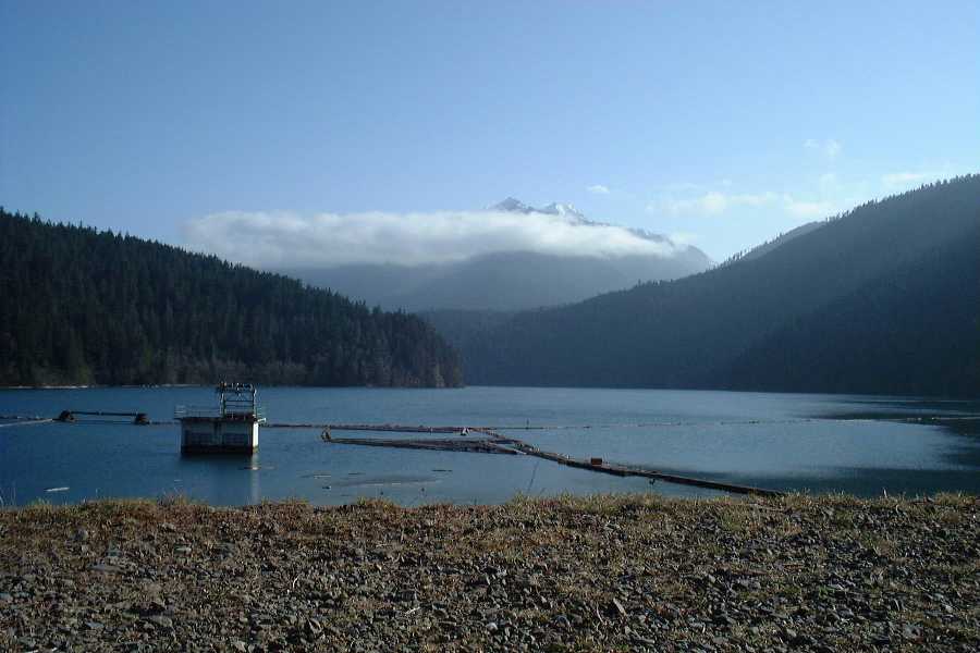 Lake Mills. This was the nice part to look at. As you will see, there is a much, much worse and horrible way to get to it. |
 Does this look familiar? |
||
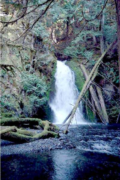
| As
composed on the first hiking page, this was a bitch.
Supposedly, it is only 400ft of elevation gain (on the
way back) but it sure as hell seemed like a lot more.
Plus, this was the waterfall at the bottom. I don't think it was worth it. And since when did I kill myself to look at waterfalls??? Who's fault is that?? |
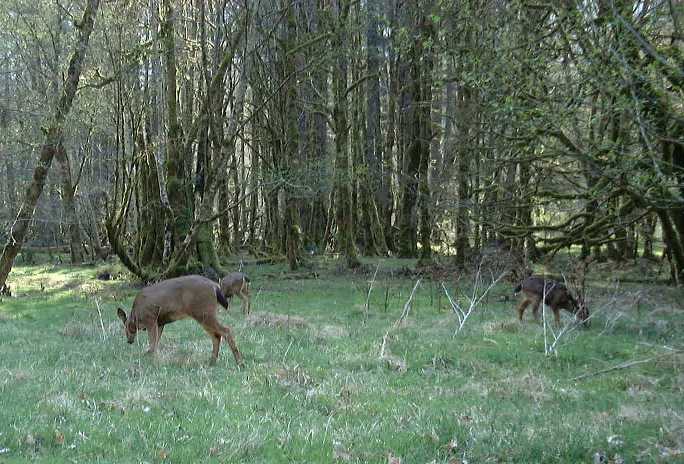
After
an attack of stupidity on a winding mountain gravel road,
we survived to make it out. Which is good, because then I
would not be able to show you this coooool picture of
deer that were hanging around on the way to Mills Lake.
|
And finally, what road trip page from a goober hiker is complete without yet one more trailhead sign? Certainly not this one! Yet more hikes I have to do. Ack! There are not enough good days in the PNW to do all these trails!!!
So, now what? You go back!