The Mountain
(a.k.a. Mt. Rainier)
March 26, 2000
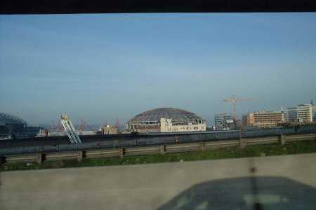
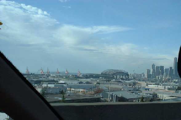
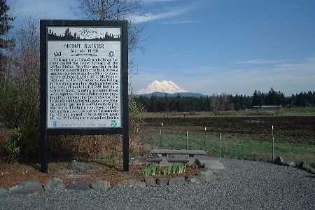
Went out on a lovely Northwest Sunday with the intention of going to a hike at Mt. Saint Helens. But ended up at the volcano that has not exploded lately on the day they imploded the Kingdome. I was overlooking Alder Dam at the time they threw the switch.
| Dome
is there...
|
...And
gone by the time we got back....
|
 Anyway,
I have never been down to Rainier, so this was nice. Didn't do
any hikes, but it was cool enough anyway.
Anyway,
I have never been down to Rainier, so this was nice. Didn't do
any hikes, but it was cool enough anyway.
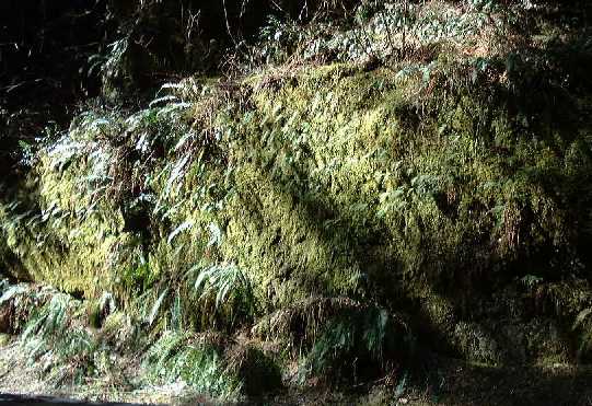
Until the snow built up, it was very green!
|
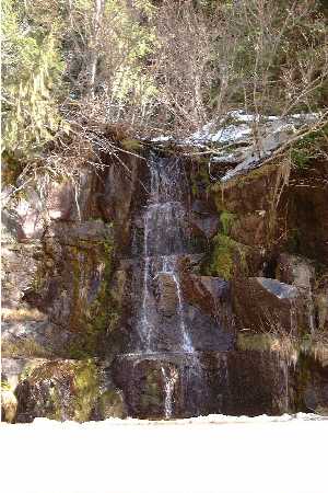 |
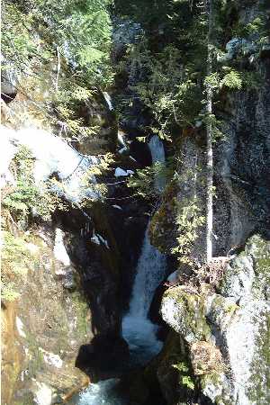
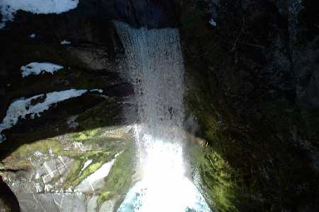
This is Christine Falls. The road goes right over it, and if you don't pay attention, you'll miss it. These pictures don't do it justice. The water was so blue, and it was a damn long way down.... |
 |
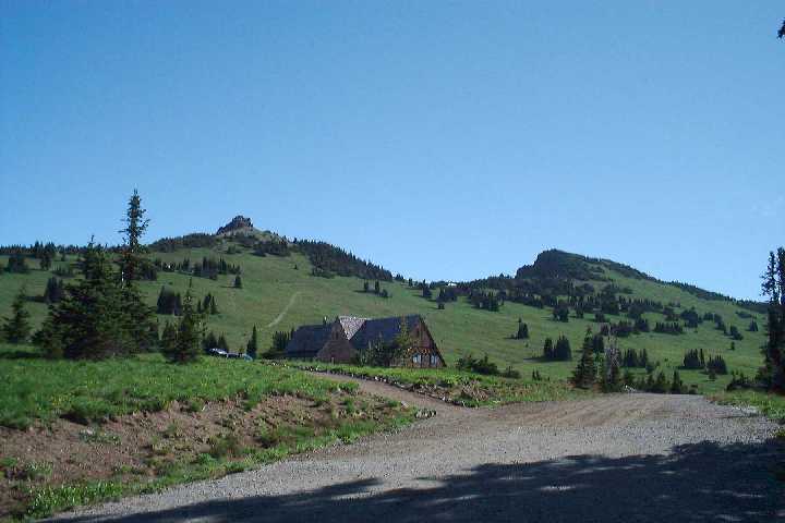
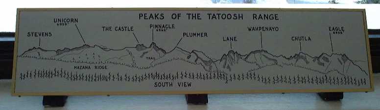
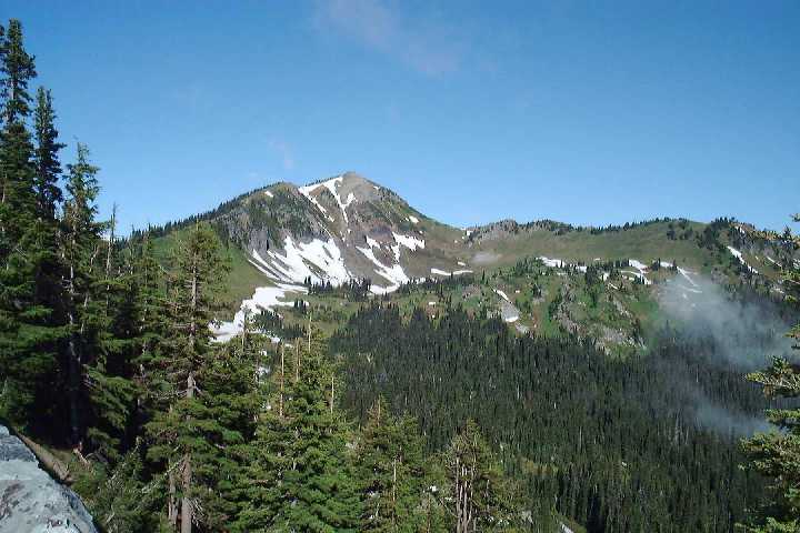
Ok, so before I go into the Rainier stuff, I need to stop and talk about the Tatoosh range. Here is the whole range, and a diagram from the Visitor Center showing the peaks.
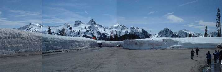
I love this range. I am planning on trying to hike each of these peaks once the wather gets better, and the miles of snow melts.....
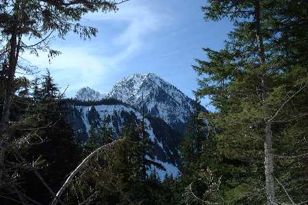
| This
is my next obsession. This is Eagle Peak. I. MUST. HIKE.
THIS. MOUNTAIN. Oh my god. Too bad it will be months
before I can.
|
 |
|
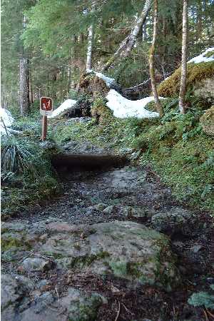
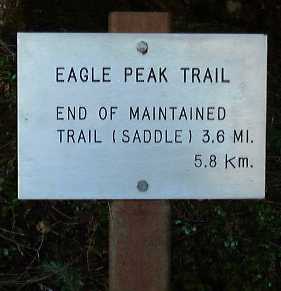
| The
Eagle Peak Trailhead. Must....go....
|
||
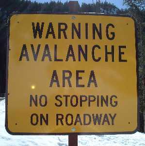
| This is the sign at the trailhead. | Ok, so this is a good pic to move into all the Rainier stuff. this was taken from the Eagle Peak Trailhead. | |
 |
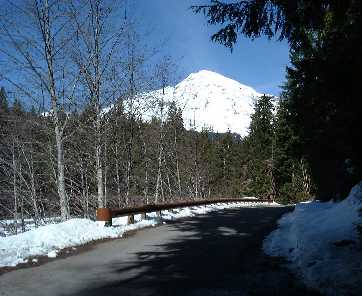 |
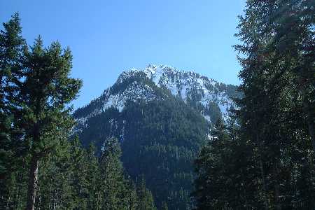
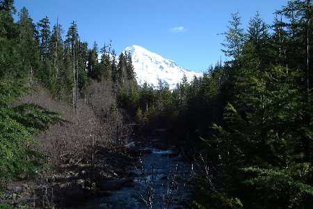
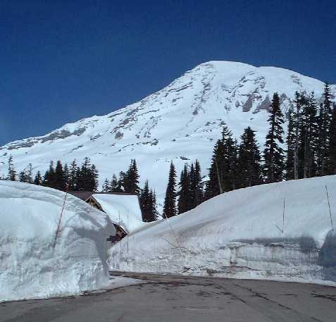
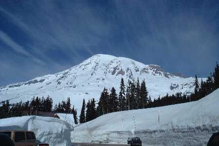
Now.... On to the main attraction.....
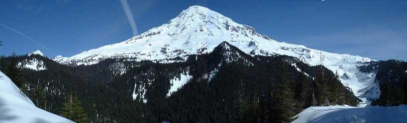
Damn!!! This is a kickass mountain. Seeing it every now and then through the Seattle-Belleview-Tacoma smog does not do it justice. Shitfire.
 |
 |
|
 |
 |
|
 |
 |
|
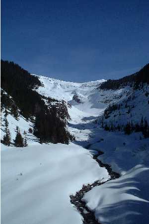
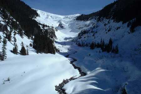
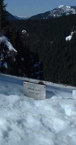
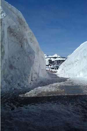
There was a lot of snow up there.
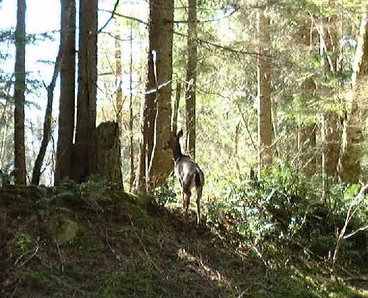
On the way out, some deer were crossing the road, and were nice enough to stop for a photo op. Nice animals....
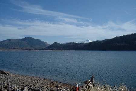
We stopped at Alder Lake on the way out to enjoy the sunshine and take a break. Ended up taking a 20 minute nap or something.
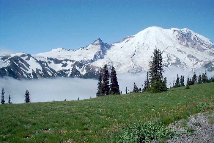
I was long overdue for a visit to my sister in Olympia, so I combined it with an early morning exsursion to the Sunrise Visitor Center at Mt. Rainier. Is every angle on this mountain a good one? Wow. I'll post a few pictures, but you have to go to Sunny's page to see more. I am conserving space.
It was cloudy at the lower elevations, but it cleared up once you got about 6100 feet. And you got views like this:

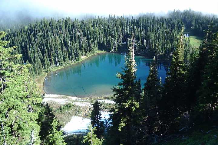
There is a trail that goes right under this ridge. I. Must. Go!
This is the Vistor's Center.