Rattlesnake Mountain! (No, there are no rattlesnakes....)
(New Pics at the bottom) Again.
After being forced to hike Mt. Si repeatedly because there was too much snow elsewhere, and it was melting and falling and causing some great avalances, I got fed up with the crowds at Mt. Si, and discoved Rattlesnake Mountain.
Now, the crowds are not much better there. But most people only hike up to the ledge, at about 1.5 miles. Then the wimpy goobers turn around and go back. So, if you get there early, you have very little traffic all the way up to the ledge, and you get a chance to appreciate the ledge and the view.
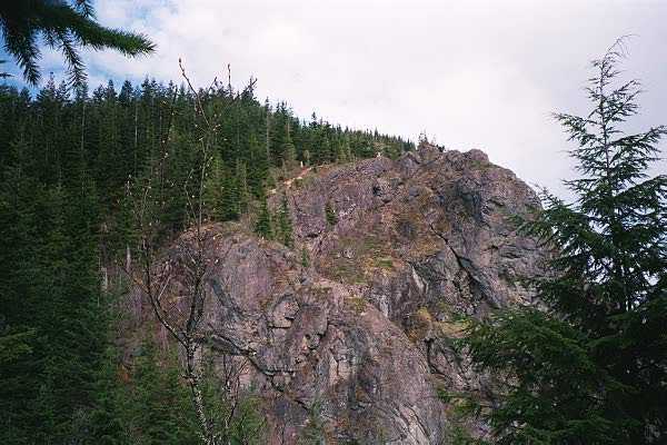
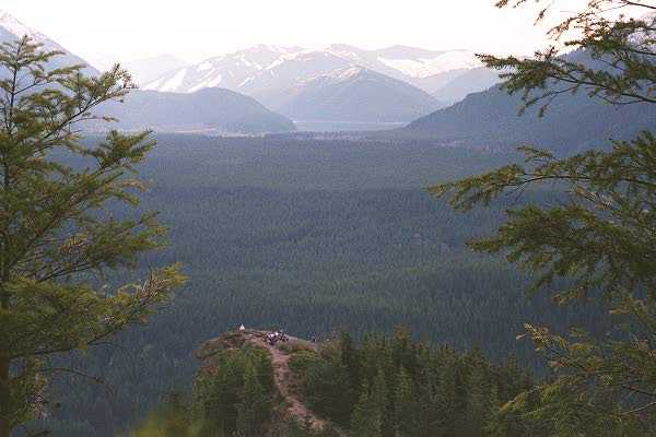 But there is more. The trail winds up the mountain
right along side the watershed up to the top of the mountain.
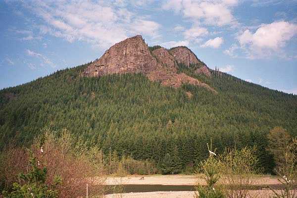
There are actually 2 peaks, one to the east and one to the west.
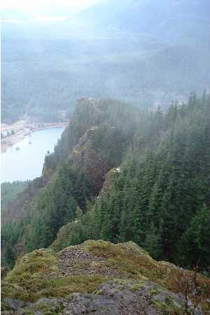
This one is the east peak, but the trail actually runs the ridge
of the mountain all the way to the other side near the winery.
But there is more. The trail winds up the mountain
right along side the watershed up to the top of the mountain.
There are actually 2 peaks, one to the east and one to the west.
This one is the east peak, but the trail actually runs the ridge
of the mountain all the way to the other side near the winery.
 |
|
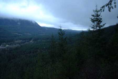
Since only 'real hikers' seem to go past the ledge, the traffic for the remainder of the hike is not much at all. But once you descend down past the ledges, be prepared to stop and stop and stop and stop and stop. Too damn many people. I prefer my hikes much further north. But it is a good little trail, and it doesn't fart around for the first mile or so. Steeper than Si, but it gets easier.
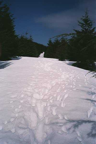
| January 8 - 2000 So, I've actually done RattleSnake numerous times. This time was in January, and the weather was cold and windy, and the snow was everywhere. It was fun. I forced Sunny to go with me, since it was my discovery, no one is allowed to go there without me. It's MY mountain!! :) |
 |
||
| The weather was less than ideal, but it worked. You just had to be patient. | |||
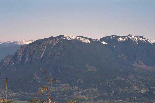
 More Views from the ledge. |
 |
||
| Any picture of views taken on this hike were taken quickly between clouds. | |||
 |
 |
||
| I'll say again: Quick pictures. The clouds came and went quickly, so you had to be patient and sneaky to actually get a view. | And not always on the first try, either.... | ||
| The weather was not really bad, it was just cold. | 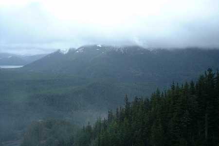 |
||
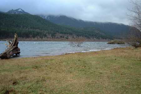 |
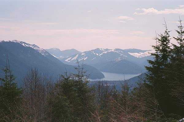
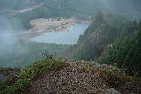
This is Rattlesnake Lake. When I visited it last year in the spring, it was more like a pond. This time it was really full. | ||
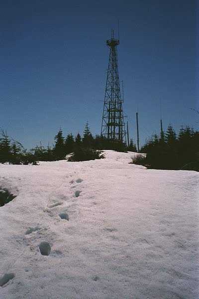
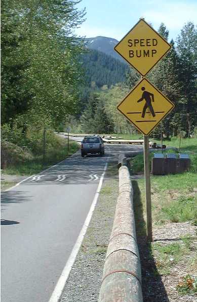
| This is LogJam landing. It was the end of the line, because I wanted to do other things, but you can keep going on to the Tower, in about another hour and a half or so. I'll do that next time. | 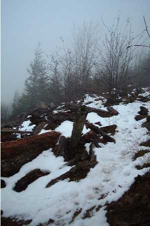 |
Since it seems that I do Rattlesnake quite often, I will add a few pics from each time. Why? Why not! Anyway, here are the latest pictures.
Uh.... WTF? Do you interprete this like we did?
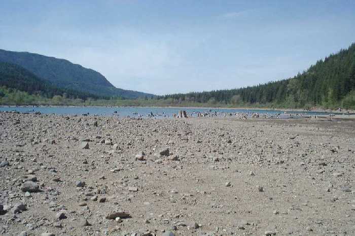
Everytime I go to this trail, the lake is at a different level. This time, it was quite, quite low....
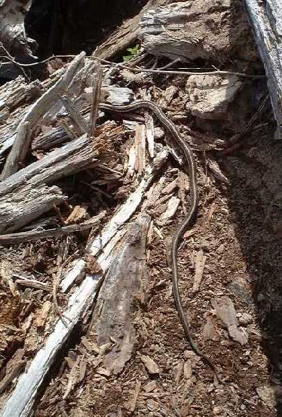
I love posting pictures of the wildlife I see on my hikes. Say hi to the snake at Logjam Landing!
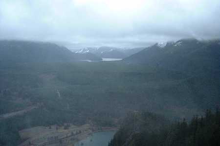
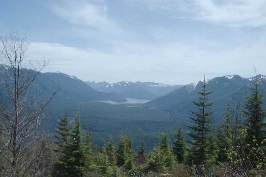
Below, Chester Morse Lake. A water supply for Seattle. Did someone say.... sterilization drugs in the water supply?
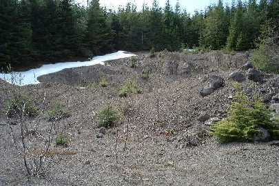
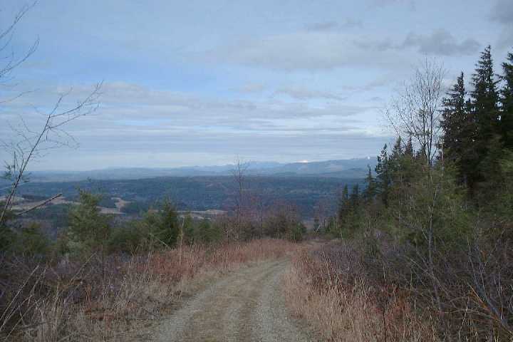
The last time out, we stopped at LogJam, partly due to weather. this time, despite being a wuss, we pressed on to the third-of-the-way point, which is this boulder field,.
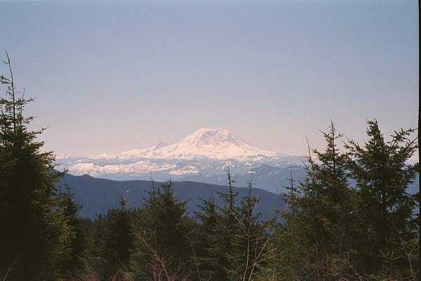
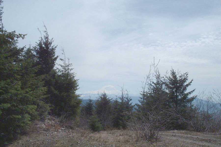
As you get closer to the tower, you get some good views of Rainier. I think this would be a great vantage point to look at it when if finally goes KABOOOOM!
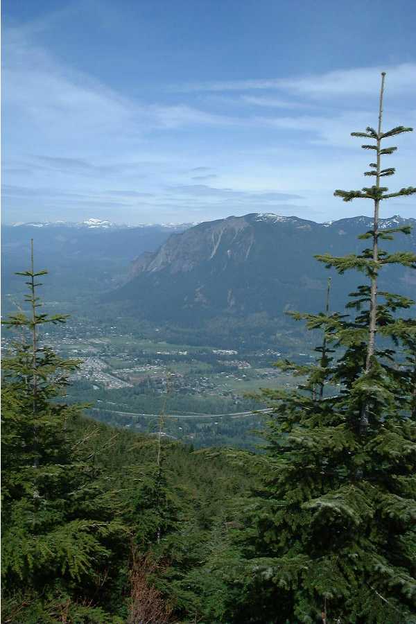
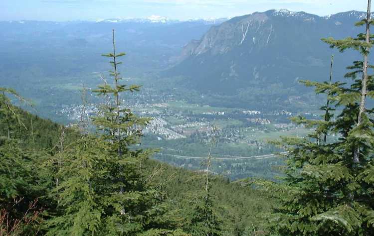
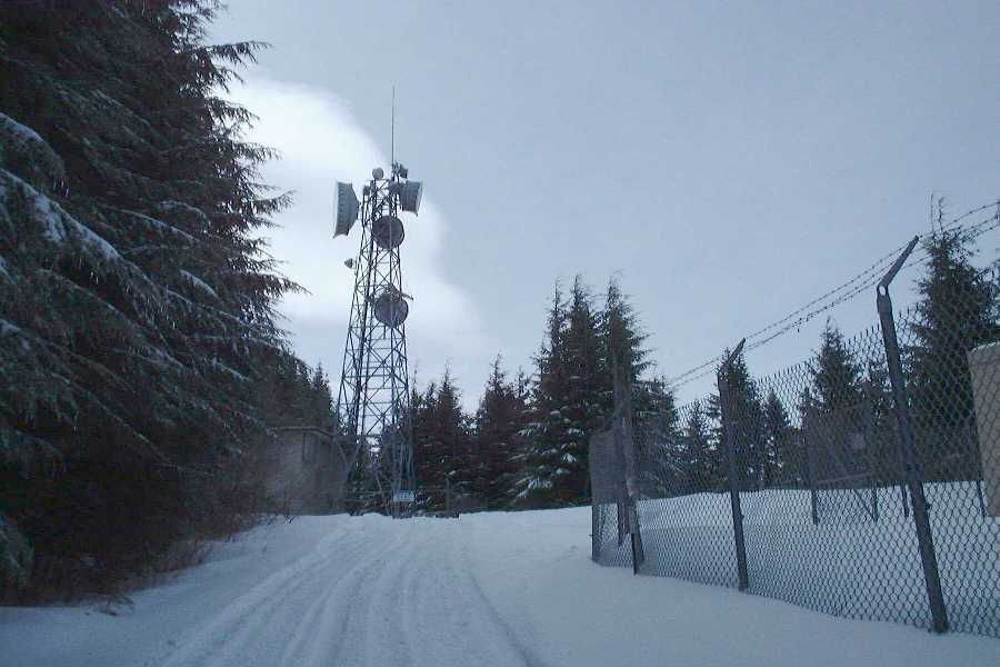
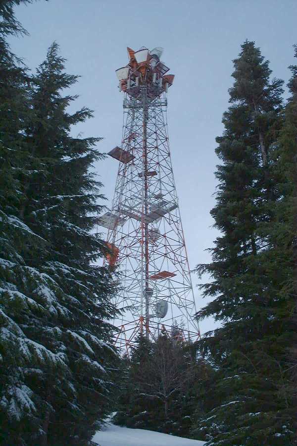
Finally, at the tower, you get views. Here are two shots of Mt Si and North Bend.
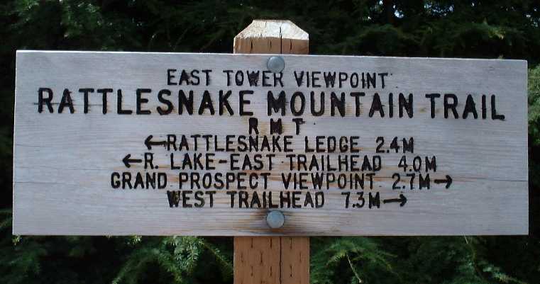
And of course, as proof that I was there, the sign at the East tower, stating how far it is to the next point and beyond. I think the next time I am here, I'm doing the whole damn mountain.
Till next time.......
This time we went to the West Peak trail, since I had been curious about it since finding this trail. It left a lot to be desired. You end up spending half the time on old logging and powerline roads.
Mostly, you duck in out out of the forest. We made it to the towers while it was still snowy out.
I think I'll stick with the East trail.