(this page is best viewed at 1024x768 at least!)
![]()
January 28, 2001
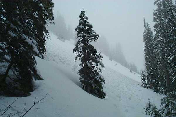
I've wanted to hike Eagle Peak since it first showed up in a Kia Sportage commercial. And once I saw it I knew it needed to be added to our Gotta Go page. Well, we didn't get to it. Going there in January is not the same. It was snowing, and even though snow levels are dangerously low this year, it was still enough to prevent us from going all the way up. We didn't take many pictures. We'll be back.
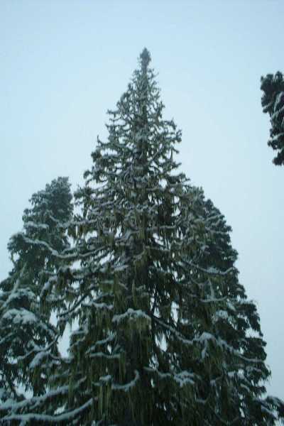
This is a tree we liked on the way up.
This is where we stopped. with all these snowballs running down the slope, we didn't want to become one.
So anyway, we'll keep this place on our Gotta Go list for 2001 and come here when it is hikable. Stay tuned!
![]()
Finally! A good snow free hike! Yay!
This trail is in amazing shape. It is not rocky or rooty, nor does it have any drainage problems. After slogging through Squire Creek last weekend, it was a nice treat. It is wide (but not too wide) and well constructed. Kudos to the builders and maintainers.

The trail is about 3.7 miles to the saddle, gaining about 3000 feet. The first 2 miles is in the forest, and the trail flirts with a creek for about 4 switchbacks before finally crossing it. It is a wonderful forest walk, as long as you stop every few switchbacks to breathe and enjoy it. It is a steep trail, but we blazed through it and made it up to the first clearing in about 1.5 hours. The Randle Green Trails map show this point at 4700ft. The Mt Rainier West GT map show this same point at 4900ft. I think our altimeter said it was 4800ft. Eh.
This is where it gets fun. And steeper. You climb up about 250 feet or so (just a guess) and then walk through the upper forest gaining some more. This is where the snow is. This is the ONLY place the snow is. Follow the trail made in the snow, but watch out for the dualing trails. On the first split, take the low road, and it joins up later with the high road. On the second split, take the high road. If you go low, you'll end up trampling a strip of meadow that is older that you are. Don't be a meadow stomper!
 |
Once
you are out of the forest, you enter the last final
ascent to the saddle. It consists of about 20
switchbacks, each one steep as hell, and each on getting
progressively smaller. I think the final switchback was
about 5 feet long! It provided some entertainment, zig-zagging
back and forth like that at the end. Total time to the
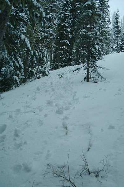
top: 2.5 hours. Plenty of blueberries growing. The picture below is from our first time out. This is where we stopped.
|
 <Insert Mountain here> |
The
saddle? Well, I'll assume that the view kicks ass, but
since we are early hikers we were robbed of a view due to
fog clinging to the mountain. But, I did get to play with
some very fluffy camp-robbers while eating my orange and
trail mix. Tightened the boots and headed back down. We
met about 8 groups on the way. Made it down in 1.25 hours.
|
After enjoying burgers and berry cobbler at the National Park Inn, we left only to find the fog had cleared the mountain, and we got to see exactly where we went. Wow. Yay mountains! Stupid fog.... Never got a view or Rainier, or the hand in front of my face, for that matter....

